This is the blog of Mark Wordsworm, the travelling worm. I’m a 40-year-old bookmark (give or take a few years) and I proudly boast my own Hallmark serial number, 95 HBM 80-1. You’ll probably want to read all about me and my Travelling Companion (the TC).
Today’s travel notes
Me and the TC drove the historic Bridle Track and the scenic Root Hog Road this weekend with a group of friends. We camped overnight at Mary Flynn Reserve on the Bridle Track.
The book I’m in
Ten Days in A Mad-House, by Nellie Bly. A somewhat horrifying true tale of a reporter in 1887, who had herself checked into an asylum for the insane and wrote a book about her experiences.
Travel tips
You need a four-wheel drive vehicle to follow the tracks mentioned in this post. If you decide not to camp nor to stop at the various reserves along the way, you can drive the Bridle Track in two to three hours.
The photos
Me with Janet the Jeep and Peg:

Introducing the newest member of our merry menagerie: Janet the Jeep. She’s a 2014 Jeep JK Wrangler, manual transmission, with a 3.6 litre, 6-cylinder petrol engine. She has two side doors rather than four, and is known as a shortie because of her short wheel base. Unlike yours truly, Janet is not built for speed but she’s plucky and strong. More like Peg, in fact.
A keen-eyed reader might notice the little Jeep icon on the windscreen next to this worm. Janet is cute, and she knows it.
At the start of the Bridle Track, a sign explains the need for a 4WD vehicle and due care:

Most of the track is a well-graded dirt road. In some sections, there’s a high rocky wall on one side and a steep drop-off on the other. In this section, the road curved through a rocky bluff:

In years gone by, one specific section of the Bridle Track was very narrow and slippery: the infamous Monaghan’s Bluff. NSW state has since built a bypass, though a sign still greets you as you enter the area:

The Bridle Track was built in the early 1800s, to give gold miners and settlers a route from Bathurst to Hill End. Bathurst is now a thriving regional city and Hill End is a small town that welcomes visitors interested in the history of the area.
Right on the side of the Bridle Track is an abandoned mine shaft. The brave can walk into it. The TC, bless her cotton socks, counts herself as one of the brave. She found that she could stand, with head slightly bowed, in the tunnel:

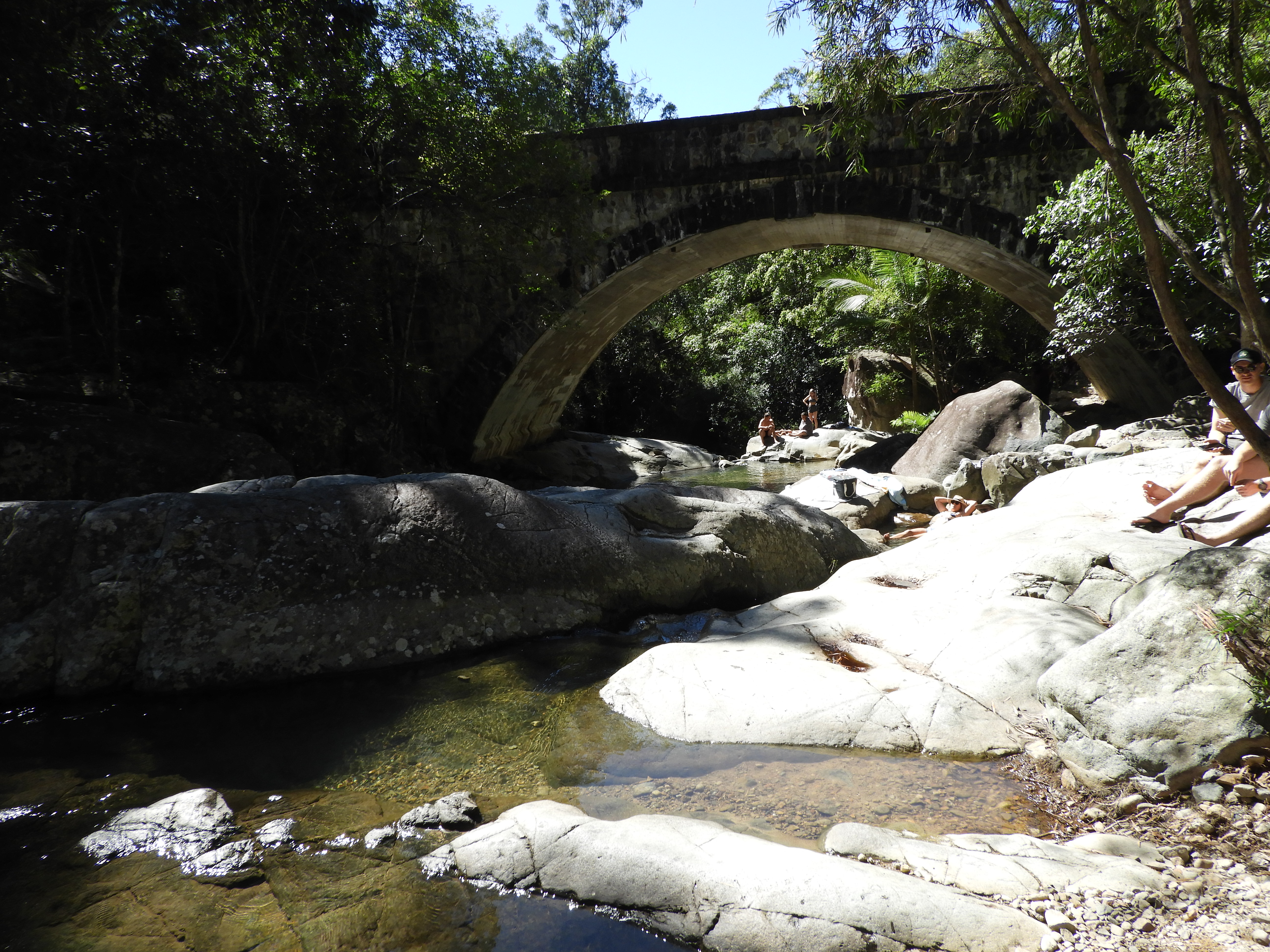
We camped at the beautiful Mary Flynn Reserve. This view shows part of the campground and surrounding area, taken from the Bridle Track before descending into the valley:

The Turon River flows past the campsite:

As the sun goes down, Janet stands guard over the TC’s tent:

A rainbow campfire, thanks to minerals added by one of the campers:

In the chill of the early morning (it was 6° Centigrade), the sun warms up the rocks on the opposite side of the river, while neighbours get their campfire going down below:

After packing up our camp, we drove back along the Bridle Track to Root Hog Crossing. This is a crossing of the Macquarie River, at the junction of the Bridle Track and Root Hog Road. The river level was on the high side (measured at about 1 metre at the Rock Forest station), and there was a reasonably strong current. Janet says that it’s the strongest current she’s tackled to date:
Thanks to our friend Matt for making the video.
Before doing a trip like this, the TC does plenty of research. She checks the river levels over a couple of weeks, to see what the river’s doing. She also monitors the fire warnings and weather forecasts. On reaching the river crossing, if it looks a bit high or strong current, she’d walk into it first. If you can’t walk the current, then the car can’t take it either. For this crossing, luckily there was a group of three cars doing the crossing when we arrived. We watched them, and judged it safe for our vehicles.
Root Hog Road is the road of views:

The next couple of photos are from a previous trip, when we traversed Root Hog Road in the opposite direction. A couple of motorbikes passed us when we stopped to take in the view:

Another road sign advised due caution:

Also from our previous trip, this video shows the last part of Root Hog Road as it drops towards the Macquarie River at the junction of Root Hog Road and the Bridle Track. The crossing is to the right, but we turned to the left to take a look at the river and campground:
Cleanup on the day after this week’s trip. Janet got her carpets wet in the Root Hog Crossing, and her paintwork was dusty. The tent was damp from the morning dew:

If you’re interested in doing this trip yourself, you can find out more about the Bridle Track on the NSW information site.
That’s all for today, folks.